


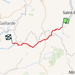


31 km | 41 km-effort

Faites confiance au hasard des rencontres


FREE GPS app for hiking
 SityTrail
IGN / Geographical institutes
SityTrail World
The world is yours!
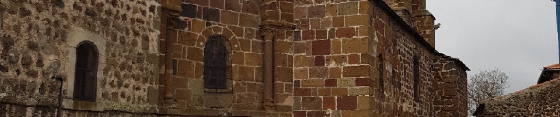
Trail Walking of 262 km to be discovered at Auvergne-Rhône-Alpes, Haute-Loire, Le Puy-en-Velay. This trail is proposed by Aux croisées des GR.
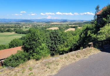
Les 2 premières étapes en 1 sityguide. Les très bons marcheurs pourront le tenter en 1 étape.Descente casse pattes sur Saint Privat.
Beau site à Rochegude et forte côte à la sortie de Monistrol.


38 photos in total. Please click on a photo to see them all in the gallery.

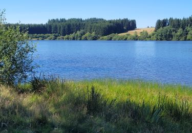
Walking

Walking

Walking

Walking
Walking
Walking
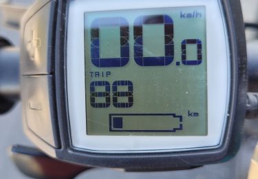
Electric bike
Electric bike
Electric bike